Cycling in the hills of Bologna: on the roads of the Tour de France
Updated on 17 April 2026 From Federico Farinelli

Updated on 17 April 2026 From Federico Farinelli

A bike ride
through the hills of Bologna inspired by the route of the 2024 Tour de France: starting from San Lazzaro, a
scenic loop through Farneto, Botteghino, Pianoro, Rastignano, Montecalvo,
Croara, and Ponticella, featuring manageable climbs, tree-lined roads, and
stunning views just minutes from the city.
This loop
route starts in San Lazzaro di Savena and follows, in spirit and partly along
the same roads, the route of the 2024 Tour de France when the race entered the
Bologna area, traversing these very same hills and valleys before the grand
finale in the city.
In this
case, we won’t enter the city but will stay just outside Bologna, sticking to
less-trafficked roads amidst the green hills.
Let's take
a closer look at this route and its technical aspects.

The
estimates for time, distance, and difficulty are to be considered approximate
and should be verified on the final route map.
Elevation profile from Garmin Connect
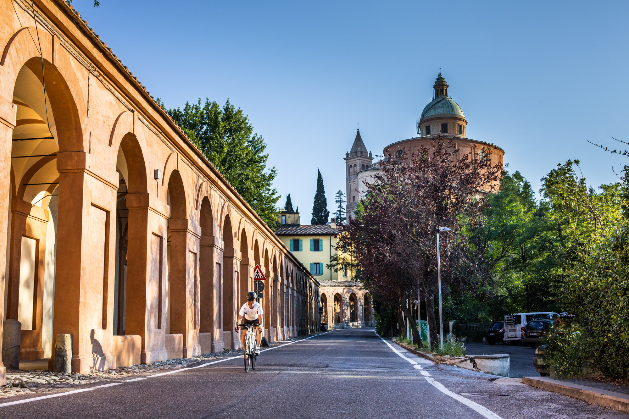
Our loop
begins in San Lazzaro di Savena near Parco della Resistenza, an ideal
starting point to immediately get a feel for the hilly landscape. Leaving the
town behind, you cycle toward Farneto, where the surroundings change
rapidly: traffic thins out, the urban landscape recedes, and the view begins to
open up onto the first rolling hills of the area.
From here,
continue toward Botteghino: we are entering the famous Val di Zena, one
of the cycling paradises in the area around Bologna. The road running alongside
the Zena Stream crosses the Parco dei Gessi Bolognesi e Calanchi
dell'Abbadessa, offering picturesque views of the hills as the slope begins
to rise almost imperceptibly.
Once you
reach the village of Botteghino di Zocca, turn right and begin the
Botteghino climb (variant 1*). Short, steady, and moderately
challenging, it offers a beautiful view of hills and badlands. There isn’t a
true summit, but you reach a plateau where, if nothing else, the constant
uphill climb ends. Then it’s a steep descent toward Pianoro.
The passage
through Pianoro marks one of the route’s moments of respite. Here, the
route heads back toward Bologna, but upon reaching Rastignano—another
symbolic point marking the Tour stage’s passage through the Bologna area—you
take the climb leading to Montecalvo (variant 2**). This climb is also short but
features much steeper gradients than the previous one and will certainly make
itself felt in your legs. It’s one of those spots where it’s worth looking up,
taking a breath, and remembering why you chose to cycle through the hills: for
the effort, yes, but above all for what comes right after.
Once past
Montecalvo, the route offers one of the most beautiful stretches of the entire
loop. The road descends toward Croara, winding through a green, elegant,
and peaceful setting, with very pleasant views and a sense of immersion in the
landscape that is truly rare so close to Bologna.
The final
segment leads to Ponticella, where the descent and the straighter
stretches gradually guide you back toward the finish (variant 3***). Your legs start to loosen up, the
pace eases, and the route heads back toward San Lazzaro, completing a
loop that successfully combines the charm of the hills, the memory of a great
day of sports, and the simple pleasure of a beautiful bike ride.
Map from Garmin Connect
When to go: Spring and early fall are the best times, with milder temperatures and light that’s particularly well-suited to highlighting the hilly landscape.
Pace: tackle the climbs at a steady pace; this route is best enjoyed as a scenic experience, not as a time trial.


Discover Bologna Welcome's newsletters and choose the one that suits you best: events, tips, tours delivered directly to your inbox
Subscribe


