Walks in and around Bologna: 6 routes to discover
Updated on 27 October 2026 From eXtraBO Outdoor Infopoint

Updated on 27 October 2026 From eXtraBO Outdoor Infopoint
The Bolognese Apennines are an ideal destination for those who love
walking, exploring nature and discovering the area at a more leisurely pace.
Some of Italy’s most picturesque walking routes start or pass through Bologna:
itineraries that wind through woods, scenic ridges, historic villages, nature
reserves and places steeped in history and spirituality.
From the famous Via degli Dei, which links Bologna to Florence,
to the Via della Lana e della Seta, right through to the lesser-known trails amongst the hills
and valleys of the Apennines, there are numerous options suited to a variety of
experiences: a weekend hike or a multi-stage trek.
Before setting off, we recommend always checking the
trail conditions, any route updates and the
availability of facilities along the way.
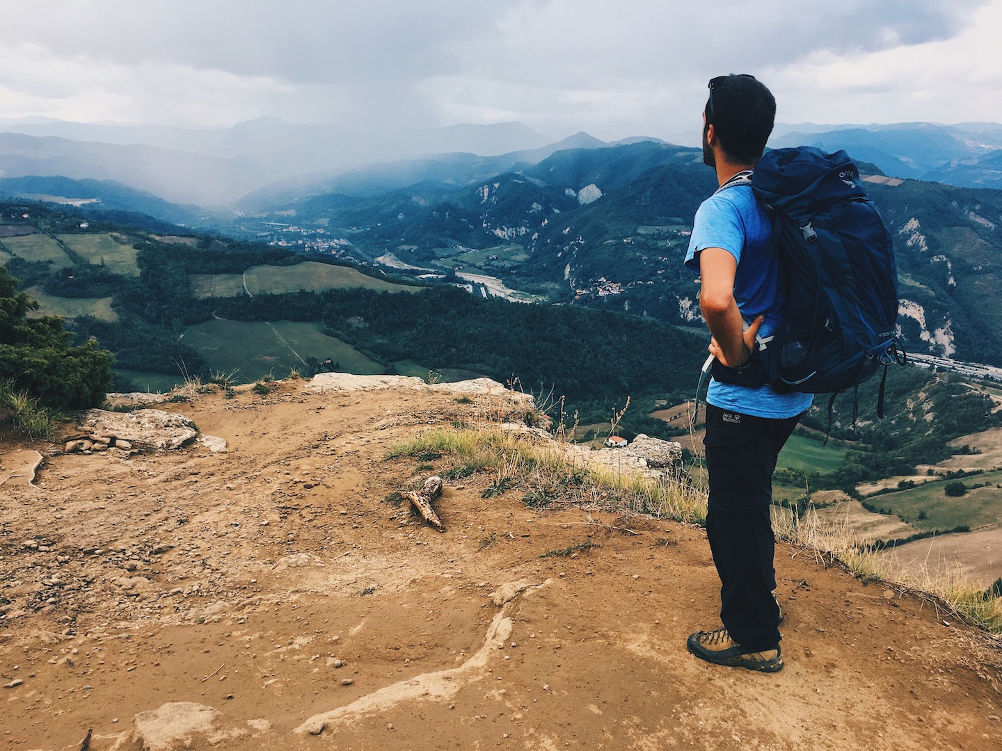
One of the best-known walking routes starting from Bologna.
It links Piazza Maggiore to Piazza della Signoria in Florence, crossing
the Tuscan-Emilian Apennines through woods, ridges, villages and sites dating back to
Etruscan and Roman times. Along the route, you’ll come across iconic sites such as the
Sanctuary of the Madonna di San Luca, Monte Adone and the Via della Futa. The
route is ideal for those wishing to organise a multi-day trip immersed
in nature, alternating between Apennine landscapes and stops in villages. The
number of stages may vary depending on your fitness level and the time
available.
Stages: generally 5–7.
Total length: approximately
130 km.
GPX track: Download the Via degli Dei GPX track.
Useful information: Official website of the Via degli Dei.
A route linking Bologna to Prato along a path
of approximately 130 km that crosses the Tuscan-Emilian Apennines. The route illustrates
the historical link between two cities that have built part of their
identity on textile production: silk in Bologna and wool in Prato. As you walk,
you’ll encounter mountainous landscapes, villages, old textile mills, watercourses and sites
linked to industrial history and the memory of the Second World War. The
route is generally divided into six stages and is suitable for
hikers with a good level of fitness, given the elevation changes on some
sections.
Stages: 6.
Total length: approximately
130 km.
GPX track: Download the GPX track for the Via della Lana e della Seta.
Useful information: Official website of the Via della Lana e della Seta.

© Lab051
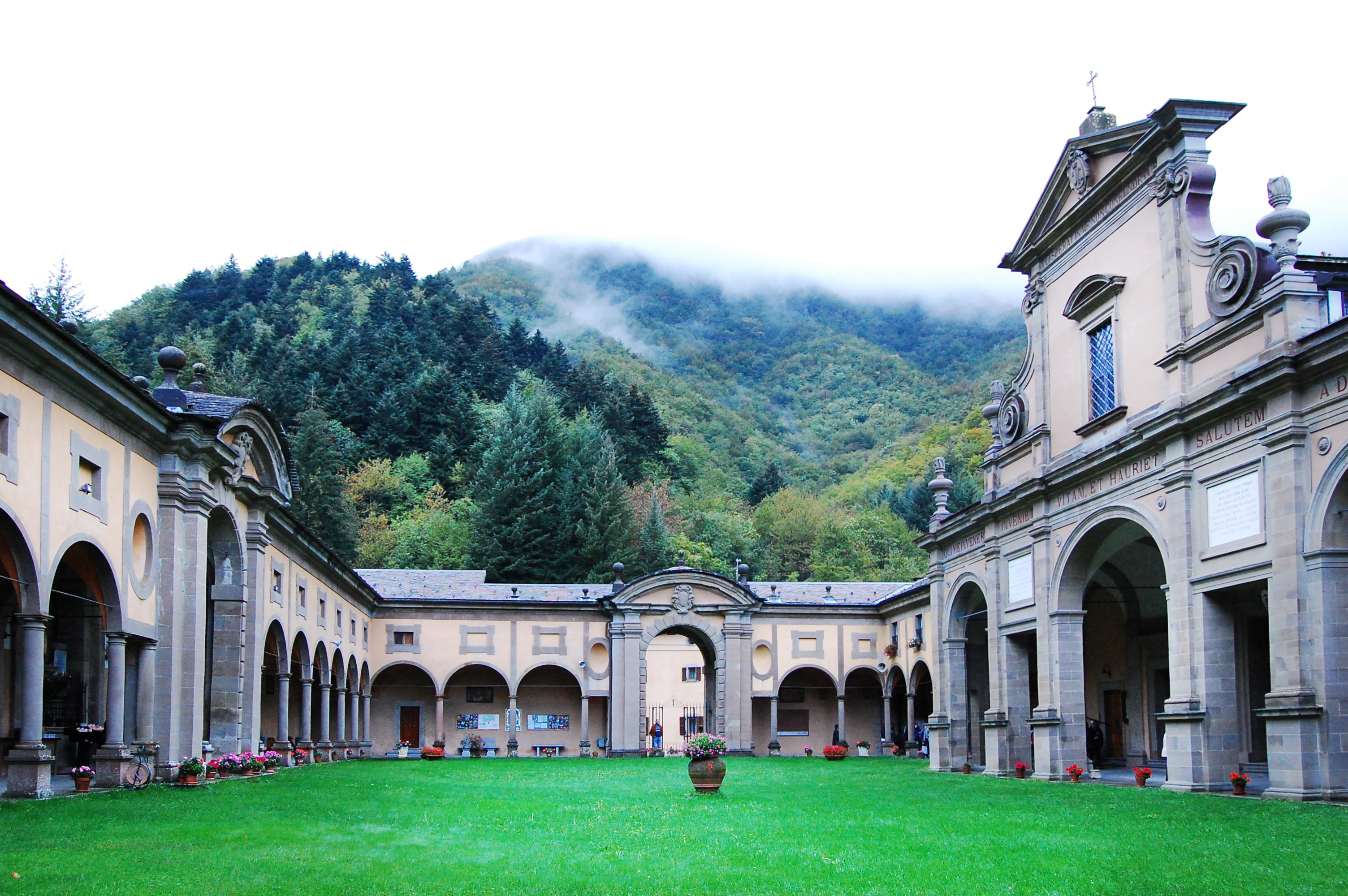
Dedicated to Marian shrines, the Via Mater Dei is a route that
winds its way through the Bolognese Apennines, combining nature, history and spirituality. The
route starts in Bologna and reaches Riola, passing through places such as
Rastignano, Pianoro, Loiano and Madonna dei Fornelli. Compared to the more
popular routes, the Via Mater Dei offers a sense of solitude and tranquillity that
appeals to those seeking a slightly more demanding physical challenge, away from the
more crowded routes. Each stage is marked by sanctuaries steeped in history and
faith, such as the famous Sanctuary of Boccadirio in Baragazza (Castiglione dei Pepoli).
Stages: 7.
Total length: approximately
157 km.
GPX track: Download the GPX track for the Via Mater Dei.
Useful information: Blog post dedicated to Via Mater Dei.
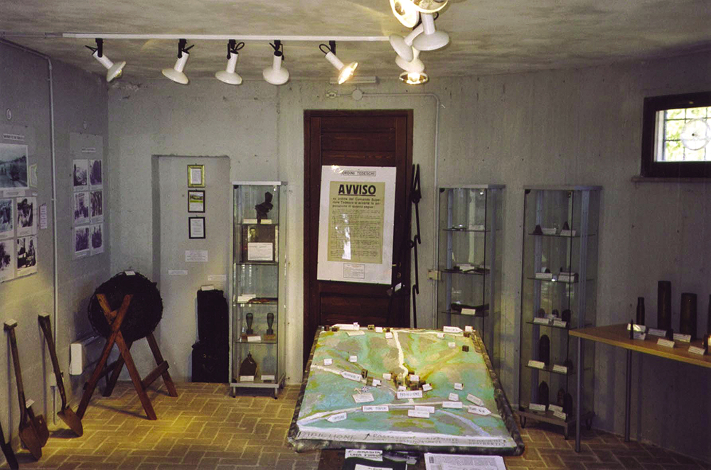
An itinerary dedicated to the historical memory of the Second World
War and the Resistance which – in the Bologna area – starts at Lake Scaffaiolo and ends at Riolo Terme. It crosses the Bolognese Apennines and other
areas of Emilia-Romagna, taking in places that were the scene of
battles and key events in Italian history. The route
allows you to combine hiking with visits to areas of
historical interest, such as the Monte Sole Historical Park and the Winter Line Museum
in Livergnano. It is an itinerary that invites you to discover the landscape also
through the memories of the communities that live there.
Stages: 10.
Total length: approximately 175 km.
GPX track: Download the Gothic Line GPX track.
Useful information: Blog post dedicated to the Gothic Line.
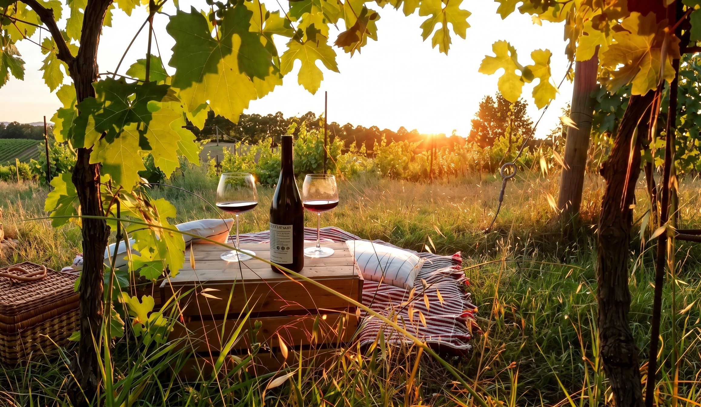
A two-day walk offering a fascinating
insight into medieval Bologna. This route follows the ancient path
used by the ‘Brentatori’, the porters who carried
wine from the hills to the city in the characteristic ‘brente’ (wooden
baskets). Starting from the centre of Bologna and heading towards
the Samoggia Valley, the route harmoniously combines hiking
with food and wine. As they pass through the Pignoletto vineyards and
stop off at the historic wineries of the Colli Bolognesi, walkers can
savour the very essence of the region.
Stages: 2
Total length: approx. 50 km.
GPX track: Download the GPX track for the Via dei Brentatori.
Useful information: Official website of the Via dei Brentatori.
A route that follows an ancient track of Roman origin
across the plains, hills and the Apennines, starting from Nonantola (MO) and
ending in Pistoia (PT). The route passes through areas between Modena, Bologna and
Tuscany, taking in historic villages, abbeys, parish churches and rural landscapes. Among the
places of interest along the route are the Abbey of Nonantola,
the Abbey of Monteveglio, Castello di Serravalle and numerous villages
in the Apennines. The route offers an experience ideal for those who enjoy combining
hiking, history and cultural heritage.
Stages: generally 6–8 stages.
Total length: approximately 170 km.
Useful information: Connections to Bologna and local variations are available; it is therefore advisable to choose the route corresponding to the section you wish to walk. Please consult the official website.

Yes, there are routes and trails in the Bologna area designed to make enjoying the outdoors accessible to people with different needs. The characteristics vary from trail to trail: it is important to check the surface, gradients, width, facilities and up-to-date information before your visit. For more details, read our article dedicated to accessible trails in Bologna and the surrounding area.

As well as the most famous routes, the Bologna area offers lesser-known trails through woods, villages, ridges and protected areas. To find new ideas and choose a route based on duration and level of difficulty, take a look at our selection of 7 walks you may not be familiar with.

For a multi-day hike, it’s important to take the essentials without overloading your rucksack. Items to consider include tried-and-tested walking boots, layered clothing, a waterproof jacket, water, energy snacks, a map or offline GPS track, a mobile phone with a power bank, a first-aid kit and personal documents. The amount of water and the clothing you take should be appropriate for the season, the length of the stages and the availability of supply points. Before setting off, check the weather, the trail conditions and the services available.

Whichever route you choose, plan your trip according to your fitness level, the elevation gain and the length of the stages. Always check the route conditions and any diversions, book your accommodation well in advance during peak periods, and take with you a reliable map or an up-to-date GPX track.


On eXtraBO you’ll find itineraries, maps and useful resources to help you plan your next walking adventure, from the Via degli Dei to the Via della Lana e della Seta, right through to lesser-known routes taking you through nature, villages and landscapes waiting to be discovered.
Route for the Bologna Promenade, developed in
collaboration with Paolo Piacentini, president of Federtrek and creator – on behalf of
the Ministry of Cultural Heritage and Activities and Tourism – of the Digital
Atlas of Italian Walking Routes.
