Flaminia Militare
Updated on 05 March 2020 From Comune di Bologna
In the
past, the Roman Flaminia road would connect the cities of Bononia and Aretium
(the present-day Bologna and Arezzo).
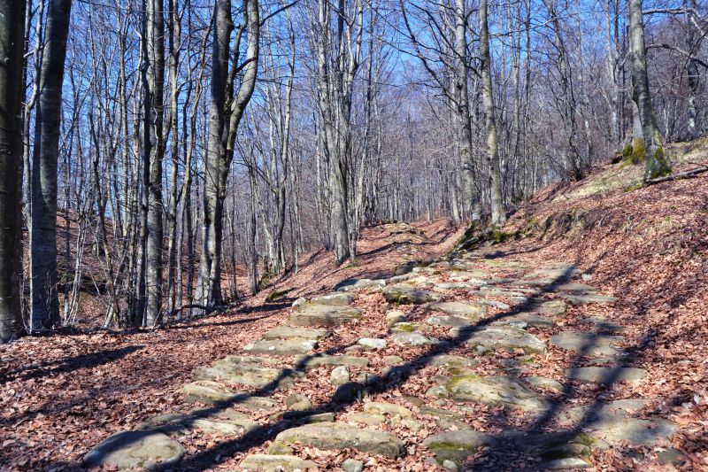
It was built over two thousand years ago (187 B.C. as cited by Livy in book XXXIX) on the ridges of the Apennines by the Roman legionnaires of the Consul Caius Flaminius. Neglected and almost disappeared over the centuries, the ancient road was rediscovered in 1979. In the following years, several traces were unearthed.
A
stretch of twenty km of the ancient road is proposed for this itinerary: it
crosses the Municipalities of Monzuno and San Benedetto Val di Sambro, pushing
to the Tuscan border.
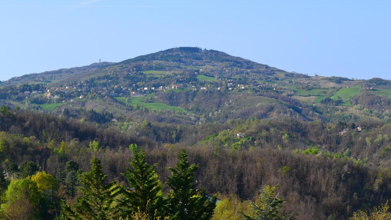
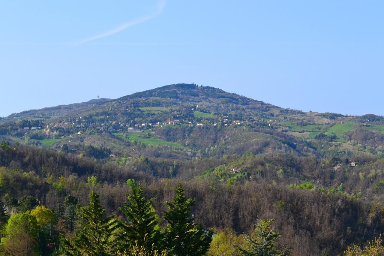
From Bologna, by car, you can reach Brento, a small town in the Municipality of Monzuno, whence you can start your hiking experience along the CAI path No. 910 until reaching the summit of the highest peak of the Contrafforte Pliocenico Park, Mount Adone (655 meters).
Heading
back to Monzuno, the second stage of the path leads to Monte Venere (Mount
Venus), from which you can enjoy a spectacular panoramic view. From Monte
Venere, continuing southwards, the third stage is the hamlet of Pian di
Balestra. You can reach the last stage by exploring the woods and following the
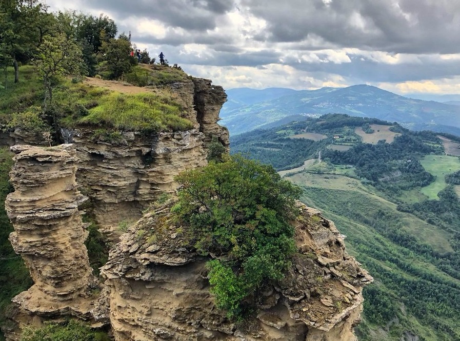
road that leads to the slopes of Monte Bastione, where you can admire paved
Roman roads and, standing on the top of the highest summit, an old bastion,
after which the peak is named.
The Flaminia Militare is a fascinating itinerary between history and natural beauty. No special skills are required, except the passion for hiking in the mountains, where the unique environment is still unspoiled and full of historical gems.


Discover Bologna Welcome's newsletters and choose the one that suits you best: events, tips, tours delivered directly to your inbox
Subscribe