


Bologna water tour
Updated on 28 February 2020 From Comune di Bologna
Ever since Medieval times, water has been an essential source of wealth and economic development for Bologna. During the 12th century, in fact, Bologna had the fifth highest population among European cities and was the main textile production hub in Italy thanks mostly to its canals, used mainly for silk mills which have been reconstructed at the Industrial Heritage Museum (Museo del Patrimonio Industriale). Nowadays, however, most of the canals have been buried and traces of the capillary water management system can basically only be found in maps. Nonetheless, it is possible to appreciate just how much water could be found all over the city by enjoying a walk to see the main places of the “city water system”.
Starting at the Fountain of Neptune, walk along the central streets as far as Via delle Moline where the canals of the old city used to be. At the crossroads with via Capo di Lucca, you can hear the roar of the Moline Canal Drop, whose energy was used to drive the wheat millstones. You then move on to Via Piella to admire the window overlooking the Moline Canal and the bridge that crosses it. Heading west, you reach the Cavaticcio canal, which used to feed the Navile waterway and flowed out from the Reno canal. Here there used to be a 15 metre drop which was used as a source of energy by the many workshops found in the area ever since the 12th century. You then approach Via Riva di Reno where, as the name suggests, the Reno canal (now buried) used to flow, and via della Grada up to the headquarters of the Reno and Savena Canal Consortia.
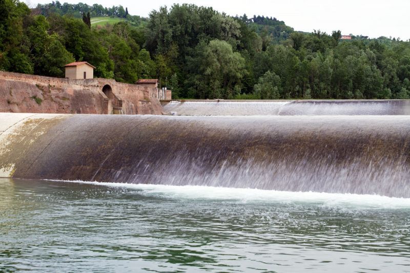
You can follow the water trail even outside the city centre along two itineraries. The first runs along the cycle path in Via Sabotino, as far as the Casalecchio Lock, the oldest hydraulic work in Europe still in operation and declared a “Heritage to Promote a Culture of Peace for the Young Generations” by UNESCO.
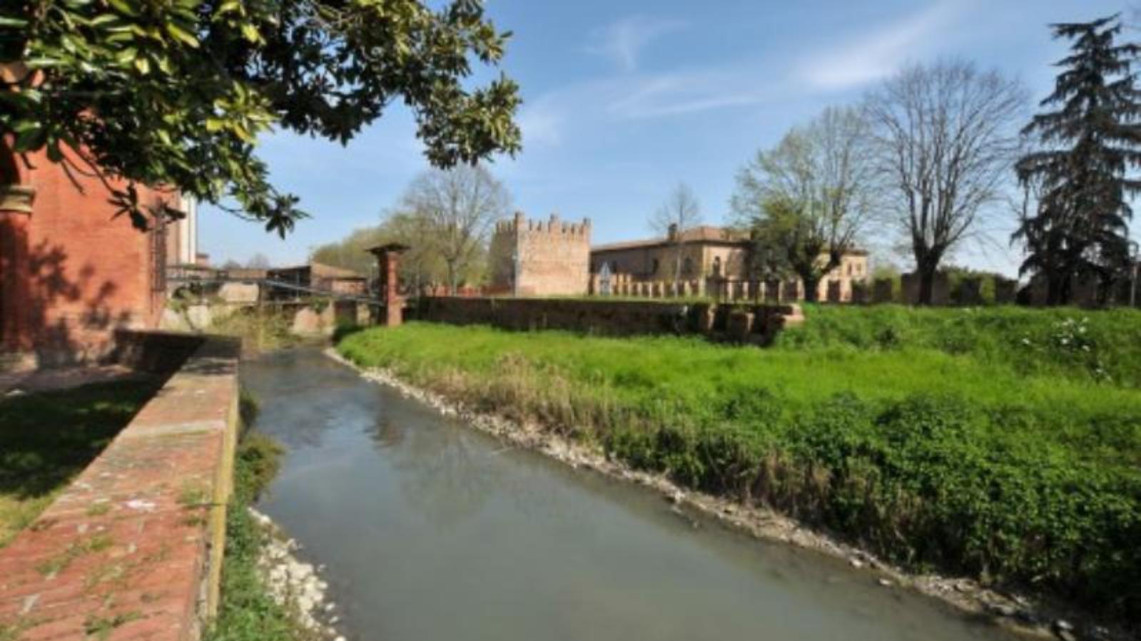
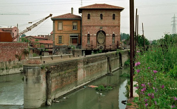
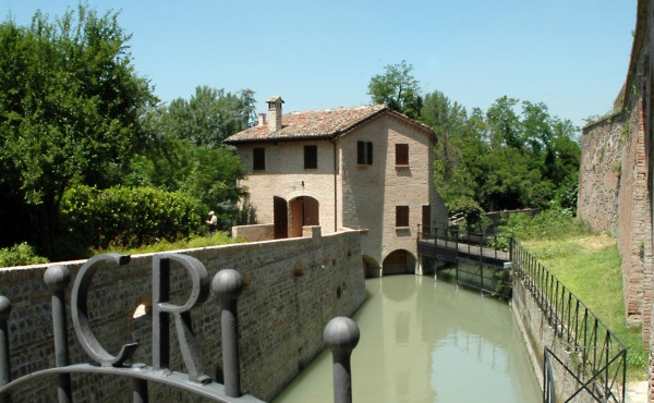
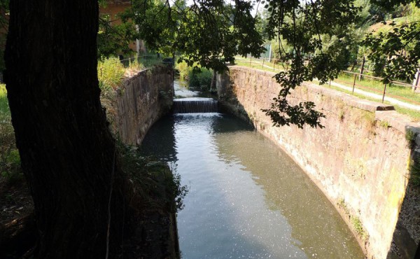
The second one proceeds beyond the station. From the park of Villa Angeletti, follow the Navile Canal, the main waterway which has connected Bologna to the Po river since Medieval times. It was used until the Second World War and the production sites that took advantage of the energy produced from the water with paddle wheels, such as furnaces, mills and small power plants were developed along its banks. The itinerary passes by Sostegno del Battiferro, Torreggiani, Landi, Grassi and Corticella as far as the Corticella bridge.
 Download the brochure about the hidden canals in Bologna here

Sign up for our newsletter and stay updated on events and offers. Receive a 10% discount code to use on selected experiences
Subscribe